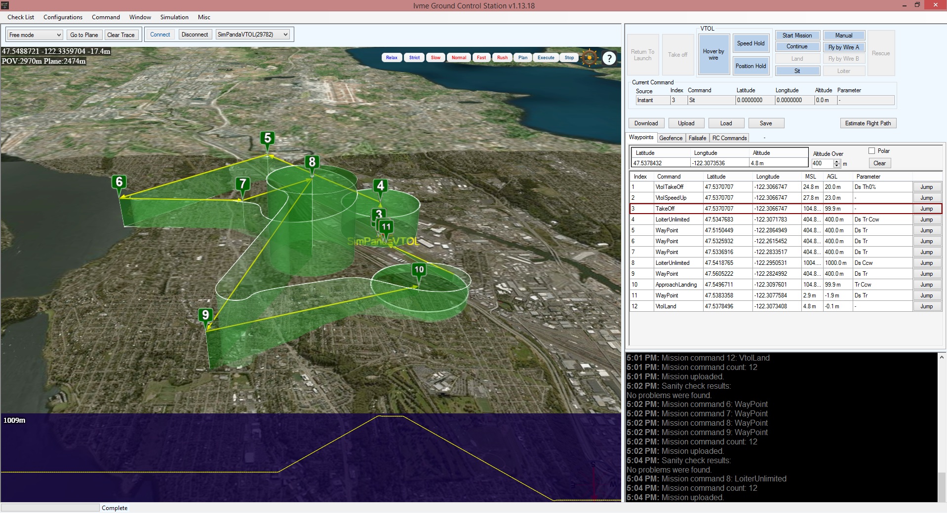
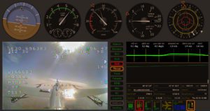
The MCS provides the GCO with all necessary information to perform its duties without having to rely on any external help. The GCO can monitor all flight related data like True and Indicated Airspeed, Ground Speed, Plane position, Virtual Horizon, Fuel and battery status, Direction, Altitude and Vario, Wind Speed and direction and many more on the gauges.

The UAV(s) position and mission waypoints show on the mission screen on a 3D map with elevation data.
The MCS also provides a interface to set-up and calibrate the tracking antenna and information to the CS of the plane position at any given time.


